Tata Carnatica Map

Tata Carnatica Map shows the exact location of the project and shows how well the project is connected to nearby IT hubs, schools, shopping centers, and hospitals. It helps to identify the project easily and shows all the neighbourhood.
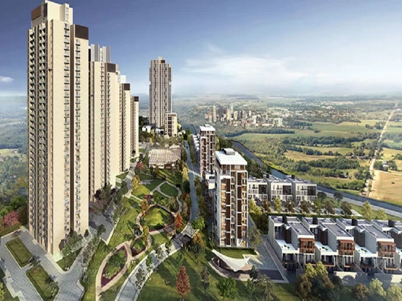
Key features of the project:
| Type | Apartment Project |
| Location | Shettigere, Bangalore |
| Project Stage | Prelaunch |
| Builder | Tata Housing |
| Apartment Types | 1, 2, 3 & 4 BHK |
| Total Land Area | 160 acres |
| Total Units | 2000 |
| RERA No. | PR/250222/004734 |
| Launch Date | July 2024 |
| Completion Date | 5 years from Launch Date |
The map shows the nearest bus routes, metro stations, and railway stations and the distance from Tata Carnatica. The project is connected to all parts of the city through the main roads, mainly
- New Airport Road
- SH 104
- NH 44
- NH 648
- NH-7
- Bellary Road.
Nearest Bus Station

Devanahalli's new bus stand is at a short distance of 550 m from the project, and there are a lot of BMTC buses to connect to all areas of the city.
Nearest Metro Station

The Blue Line of the Metro provides easy access to the area, and any area of the city can be reached easily. Doddajala Metro Station is 10.4 km, and Chikkajala Metro Station is at a distance of 12.9 km from the project.
Distance from airport

Kempegowda Airport is at a distance of 12.5 km from the project, and it can be reached through NH 44 in 15 minutes.
The map also shows the distance of IT parks, schools, colleges, and malls from the project.
Distance from Tech Parks
- KIADB – 11.5 km
- Manyata Tech Park – 29.5 km
- Ecopolis – 18.5 km
- IFCI Financial City – 15.3 km
- Prestige Tech Cloud – 10.5 km
Distance from Hospitals
- New Manasa Hospital – 1.3 km
- Sri Shirdi Sai Hospital – 650 m
- Ramaiah Leena Hospital – 650 m
- Akash Hospital – 2.5 km
- Aster CMI Hospital – 29 km
- NRV Hospital – 13.8 km
Distance from Shopping Centre
- Garuda Mall – 38 km
- Esteem Mall – 27.4 km
- Galleria Mall – 25.6 km
- DRV Plaza – 1 km
- PVR Orion Uptown Mall – 27 km
Distance from Schools
- Delhi Public School – 22.8 km
- Akash School – 2.3 km
- Shanthinikethan Public School – 500 m
- Vidyashilpa Academy – 23.2 km
- Sterling English School – 1 km
The map also shows the nearby weekend spots where people can go and relax.
- Devanahalli Fort – 1.3 km
- Bangalore Palace – 34.2 km
- Tipu Sultan's Summer Palace – 39.5 km
- Lalbagh Botanical Garden – 39.8 km
- Cubbon Park - 42.8 km
- Elements Mall - 32 km
Tata Carnatica Map gives detailed information on the project's nearby places. Buyers can refer to the map to know about the complete surroundings of the project.

| Enquiry |